Thursday, December 23, 2010

Thurs Dec 23 Apache Trail

I am trying to sell my DR650 on Craigslist and agreed to meet an interested party in Tortilla Flats, AZ. That was all it took to make me decide to ride the Apache Trail today. It is 65 miles from my house to the beginning of the Apache Trail, so how do you think I felt when I was greeted by this sign?

Friday, December 10, 2010


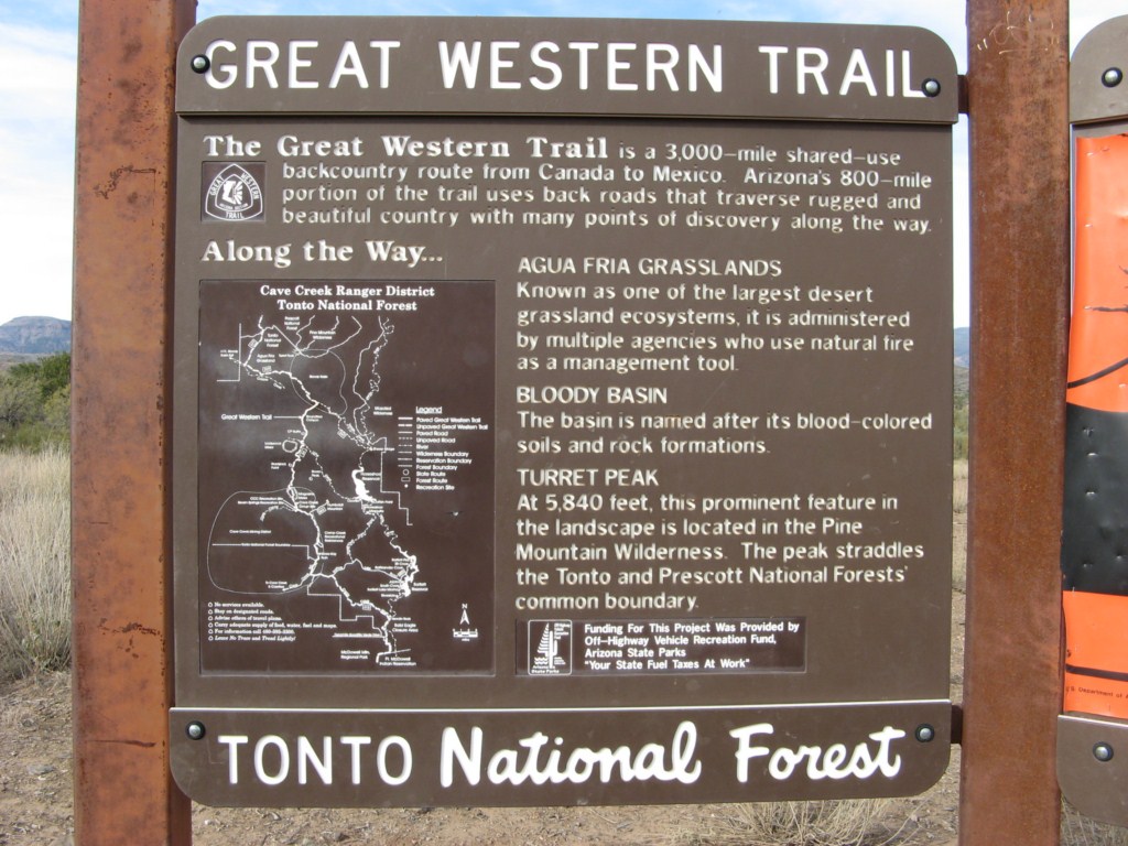
As we were leaving the Sheep Bridge area, I saw this memorial on the side of the road. Just another reminder to be careful. If you read the Great Western Trail sign, that is not why they call it the Bloody Basin.
Now, that's a Kachina Doll!!!


If you read the sign, you know that this bridge was built in 1989 to replace the old one. The old one was built with wood standards that were later reinforced with concrete when they began to weaken. Notice the curved cable to the right of the bridge. It is use to keep the bridge from swaying sideways.


We finished lunch and went to check out the bridge. You can click on these pics to enlarge them and then use your back arrow to continue the blog. That cactus must not need much soil, it is growing right out of the rock.


We were getting hungry and stopped to eat here as the views were great in every direction.


How beautiful is this? That is SheepBridge from about a mile away.


Enjoying the backroads is great fun, but there is a risk that goes with it. At least it looks like the usable parts were taken before it was all shot up.


He finally slowed down enough that I was able to ride and shoot a couple of action pics. The scenery in the AZ backroads is awesome no matter where you go.


We are finally getting our fall color here in AZ. Bronson took a picture of me displaying my fall color :(.


Still not real exciting, but getting better the farther we go.

7 Springs, SheepBridge, Lower Bloody Basin Trails


Friday, Dec 10, 2010,
Bronson and I met at 8:00 AM today to ride the Bloody Basin Trail. Leaving the Carefree, Cave Creek area, we took the Seven Springs trail off of the Bartlett Lake Hwy. At the start, the trail was very easy, and the scenery was not really too exciting. Once we neared the Seven Springs campground area, things started looking up.

Friday, December 3, 2010


The CAP (central az project) canal is used for irrigation of our farms. This water is pumped fro the Colorado river into the Lake Plesant reservoir during the winter and released to the farms during the summer.
I can tell I getting closer to home as I'm seeing signs of civilization. My next ride will be the Bloody Basin trail on Friday the 10th of Dec.
The new mounting system for my top box worked great, but it is obvious the the things inside get a rough ride. That was a full bag of almonds with only a small opening at the top about 1" long. It is now almost empty and all those almonds are somewhere in the bottom. That red lid was on tight when I started out.